Posts Tagged ‘Archaeology’

As we come into the last month of 2021, we are grateful for many things, the top of the list being our Extreme History community (that’s you!).

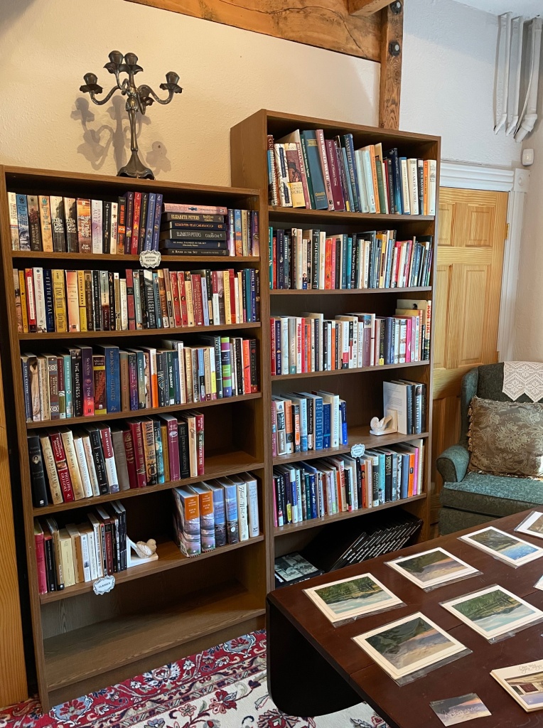
We are also grateful that we were able to launch our 2021 walking tours and even add some revamped and new tours to the mix. We were excited to take to the streets for Bozeman’s Sweet Pea parade. Our flowery float was peopled with some of Bozeman’s most colorful historic figures and included a special tribute to raise awareness for the Indian Boarding Schools story. Our The Dirt on the Past podcast in which team members discuss a wide range of topics with notable experts garnered over seven thousand listens (and counting) worldwide. Furthering our mission for educational outreach, we continued offering our lecture series via Zoom. Our online book (and wine) club also proved to be a community favorite. In June, Montana author Tom Rust was on hand to discuss and sign his latest book and in November, local author Kelly Hartman read from and signed copies of her new book. We assisted in the creation of a documentary called, The Story of Us (watch for the debut in early 2022) In addition to the ever expanding inventory of unique goodies in our Mendenhall Street office gift shop, we opened our new Extreme History Book Shop featuring specially curated used history books, covering a large variety of historical subjects.

While we have had our successes, we also have had our challenges. Several of our planned in-house events and our big fundraising program, History After Dark, were cancelled out of concern for community health safety. As is the struggle of all non-profits, The Extreme History Project needs outside funding to underwrite our mission. Bringing history to the community requires many hours of research, resources and logistical support. We have big ideas, but a small budget. Your donations are the fuel we need to keep us moving forward with pertinent content and fresh, exciting programming. Every dollar you can give brings us closer to fulfilling our goals for this upcoming year.

To help us continue our mission to MAKE HISTORY RELEVANT, please click here.

As always, thank you for your support!

If you enjoy a particular program and would like to support it directly, here are ways to help!

Support The Extreme History Project Lecture Series – $250 per lecture

Support The Extreme History Project Historic Walking Tours – $250 per walking tour

Support The Dirt on the Past Podcast – $500

Support The Extreme History Book Club – $200

Sponsor an Oral History interview and transcription – $600

Donate used history books (non-fiction) to our Extreme History Book Shop

If you are interested in any of the above options, send an email to crystal@extremehistoryproject.org or give us a call at 406-220-2678 to discuss.

Sincerely and with gratitude,

Crystal Alegria and Team Extreme

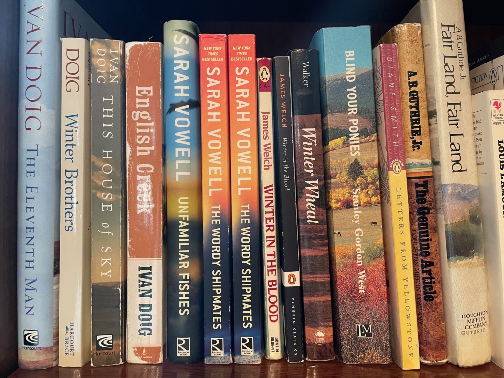
Join us on Saturday, July 17 from noon to 5pm for the Grand Opening of The Extreme History Project Book Shop! Within the Extreme History headquarters, we have dedicated a room to used books that focus on history. We have a large selection of Montana and western history, along with some great historical fiction. Books range in price from $4 to $12. We are located at 234 E. Mendenhall. Stop by on Saturday, July 17th and find some summer history reading!

GPS, GIS and Archaeology:
The Beginning of a Beautiful, and Sometimes Complicated, Relationship
In the Mapping of the Nevada City Cemetery in Madison County Montana

By John W. Olson

Tessa Switzer and John W. Olson (me!) at the Nevada City Cemetery.  We are using mapping grade receivers, external antennae, and range poles for mapping.

Tessa Switzer and John W. Olson (me!) at the Nevada City Cemetery. We are using mapping grade receivers, external antennae, and range poles for mapping.

I remember using MapQuest in Seattle with a friend to locate her new apartment. We entered the address on my desktop computer, arranged the view so that the printed destination area was enlarged thus enabling us to navigate the new terrain with relative ease. At least that was the theory. In reality, since widespread public access to GPS (Global Positioning System) navigation was fairly new, there were a few glitches that needed to be ironed out. In our case the map said there was a road that was supposed to go from close to the I-5 exit leading directly past the apartment. Unfortunately, or fortunately rather, there was no road going up the incline which I imagine was around 40-50% slope. We ended up ignoring the map and traveled a little ways around the hill to reach the other side, which had actual roads at decent slopes leading to our destination.

A few years later I was moving back to Montana from Fort Lauderdale, Florida (and yes, it was a long trip from Seattle to Fort Lauderdale and Fort Lauderdale to Cut Bank, Montana) and I had a PDA (Personal Data Assistant for those in the current generation that have never known a time without smartphones) that had a small plug-in GPS unit. This was 2005 and I was totally clueless as to why the unit didn’t work very well and why I kept losing the signal. Since those two incidents, technology has changed dramatically as has the knowledge (including mine) behind the technology.

GPS, as many people are aware, basically allows users to determine where they are located on planet Earth as well as provide the geophysical location of 3D objects such as houses, golf courses, and even the precise, and secret, location of your huckleberry patches way up in the boonies. Of course, knowing where something is and having a constantly updating GPS map in order to arrive at your destination is an amazing convenience. However, even at the dawn of the field, people began realizing there was considerable potential in knowing the geophysical location of objects and gathering pertinent data in relation to those locations. GIS had been born.

GIS is an acronym for Geographic Information System, or as my GIS instructor espouses, Geographic Information Science. I agree with my instructor in that “science” more aptly defines the enormous amount of technologies, concepts, and advances that have been utilized by almost every discipline. The targeting of the physical locations of university students and city residents who are sports fans can be used in determining the future location of a sports bar. GPS and GIS can also be utilized in creating avalanche predictions in the Bridger Bowl ski area based on average snowfalls, slopes, and the types of snow.   On campus, for many years the semester project for GPS students has included gathering data in new subdivisions. This data includes locating the positions of fire hydrants, doors to apartment or condo locations and their numbers, sidewalks and other important geophysical information. This data is then incorporated in the city and county Emergency Services database to aid in response times for the police and firefighters.

In archaeology, GPS and GIS can be used to graphically display where artifacts, ecofacts, midden positions, building, etc. are located is space and through time via relative and absolute dating of materials. This process can sometimes result in discovering new patterns or help to visually enrich current knowledge. This enrichment is very evident when we consider using GPS and GIS with mapping cemeteries.

In the next few weeks, this Thursday blog will explore the immense usability and versatility of GPS and GIS in regards to the Nevada City Cemetery Project that The Extreme History Project is heading up. I want to share with everyone how we are working on telling the story of the people buried in the Nevada City Cemetery. As an added bonus, I will also be telling you the story of the people who are telling the story of the people in the Nevada City Cemetery and how GPS and GIS has altered our methodology and expanded what archaeology can offer to everyone.

Until next week…Rock on! (Archaeology pun)

John W. Olson


poster (2)

poster

poster work

HOPE TO SEE YOU THERE!!